

The Annapurna Circuit Trek is a renowned high-altitude journey in central Nepal, encircling the Annapurna Massif and offering a diverse blend of natural beauty, cultural immersion, and physical challenge.
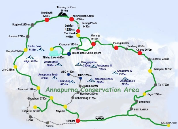
The Annapurna Round Trek—also known as the Annapurna Circuit—is a legendary high-altitude adventure in central Nepal that circles the Annapurna Massif over about 160–230 km, typically taking 15–20 days to complete . The trek begins in the warmer, green foothills near Jagar and ascends through lush forests and farming villages into alpine meadows and eventually to the dramatic Thorong La Pass at 5,416 m—the trek's highest and most challenging point Along the way, trekkers traverse culturally rich communities of Gurung, Magar, Thakali, and Tibetan heritage, visiting ancient monasteries and pilgrimage sites such as Muktinath—famous for its 108 holy spouts and eternal flame The route descends through the awe-inspiring Kali Gandaki gorge, the world’s deepest, offering sweeping views of Annapurna I, Dhaulagiri, Machhapuchhre, and many other peaks With its combination of dramatic landscapes, cultural immersion, and physical challenge—especially the high-altitude crossing—the trek offers an unforgettable Himalayan experience best undertaken during
Highlights of Annapurna Round/Circuit Trek:
Diverse Landscapes: Experience a range of ecosystems from subtropical forests to alpine meadows.
Cultural Immersion: Pass through villages inhabited by Gurung, Magar, and Thakali communities, offering insights into traditional lifestyles.
Sacred Sites: Visit Muktinath Temple, a revered site for both Hindus and Buddhists.
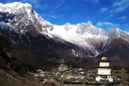
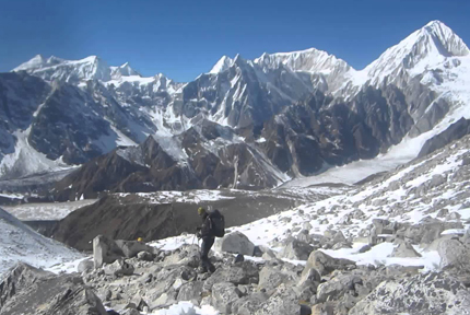
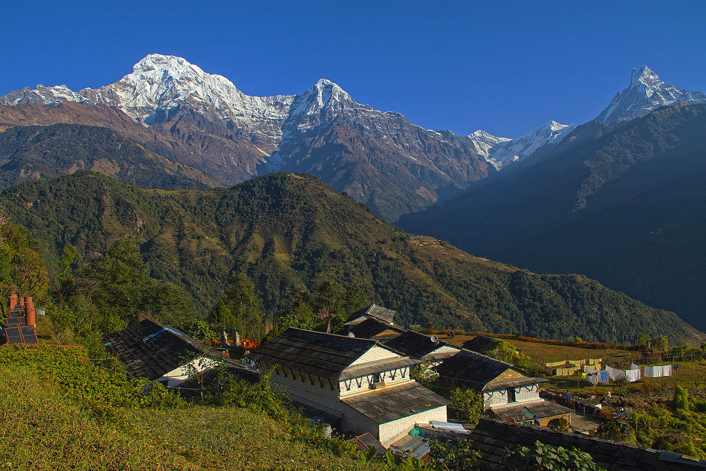
Scenic Views: Panoramic vistas of peaks like Annapurna I-IV, Dhaulagiri, and Machhapuchhre.
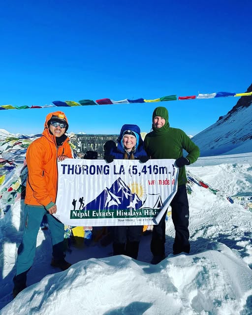
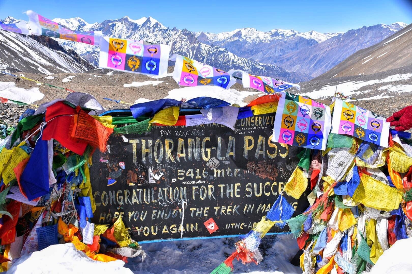
Highest Point: Thorong La Pass at 5,416 meters (17,769 feet), the trek's most challenging segment.
Trekking Itinerary day by day for 22 days’ trek of Annapurna Circuit Trekking Zone
Note: The Distance and driving hours as well walking hours mentioned on Trekking tour itinerary is approximately and may differ while making the trip practically depending on the traffic, road condition, trail condition, followed trek route, walking speed and so on as applicable
Full coverage guided trek cost: USD 1995 per person
The Given Total paid cost Does include:
1. Shared Vehicle Ride to Jagat (Trek Start Point ) from your hotel in Kathmandu and back to your hotel in Kathmandu from Pokhara
2. Taxi Ride to Bus stand at Balaju in Kathmandu for Jagat Tranfer by Shared Vehicle and Taxi Ride to your hotel in Kathmandu from Balaju Bus stand while getting back to Kathmandu from Pokahra
3. Trekking Permit
4. Annapurna Himalaya Region National Park Permit
5. 21 Night Stay at Hotel during Trek in Himalayas including in Pokhara
6. Breakfast set, Lunch set and Dinner for 22 days during trekking (From Katmandu to Kathmandu)
8. A Cup of Tea or coffee three times a day for 22 days (From Kathamndu to Kathmandu)
9. Seasonal Fruits for 22 days
10. A Licensed Trekking Guide and there's food, wages, permit, insurance, accommodation, trekking equipment and transportation for 22 days
11. Trekking Sherpa Porter to carry your main luggage and Porter’s food, wages, permit, insurance, accommodation, trekking equipment and transportation for 22 days
12.Sleeping Bag, a pair of Shoe Spike-Crampons and a pair of Trekking Pole (Should be back to the Company when the Trip is over)
13. Trekking Permit for Guide and porter
14. Administrative service fee
15. A verified appreciation certificate of Trekking Tour Completion
Cost does not include:
1. Bottled water, bottled beverage (Cold drinks and alcohol drinks)
2. Hot shower, Wi-Fi internet, Battery charging
3. Personal expenses which are not maintained at given inclusion section
4. Tips to Guide
Note: Tipping Trekking Guide in Nepal
Tipping is expected by Trekking Guides & Porters who are involved in Trekking Tour Adventure Activities of Nepal. Tip is very important source of income for them as a reward for a service. Tips are greatly appreciated in Trekking Tour Adventure Activities of Nepal. Guides and porters have very tough jobs and they often get surprisingly little compensation for their work. For more info, visit at https://www.nepaltrekkinginhimalaya.com/pages/tipping-trekking-guides-in-nepal
More Information are given on web link.
Have a good day!
“We Make your Travel in Nepal Easy and Safe with Best Service”
 21 Days/ USD 1850
 18 Days/ US Dollar 1590
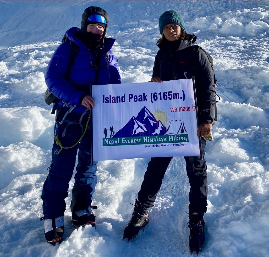 20 Days/US dollor 2950
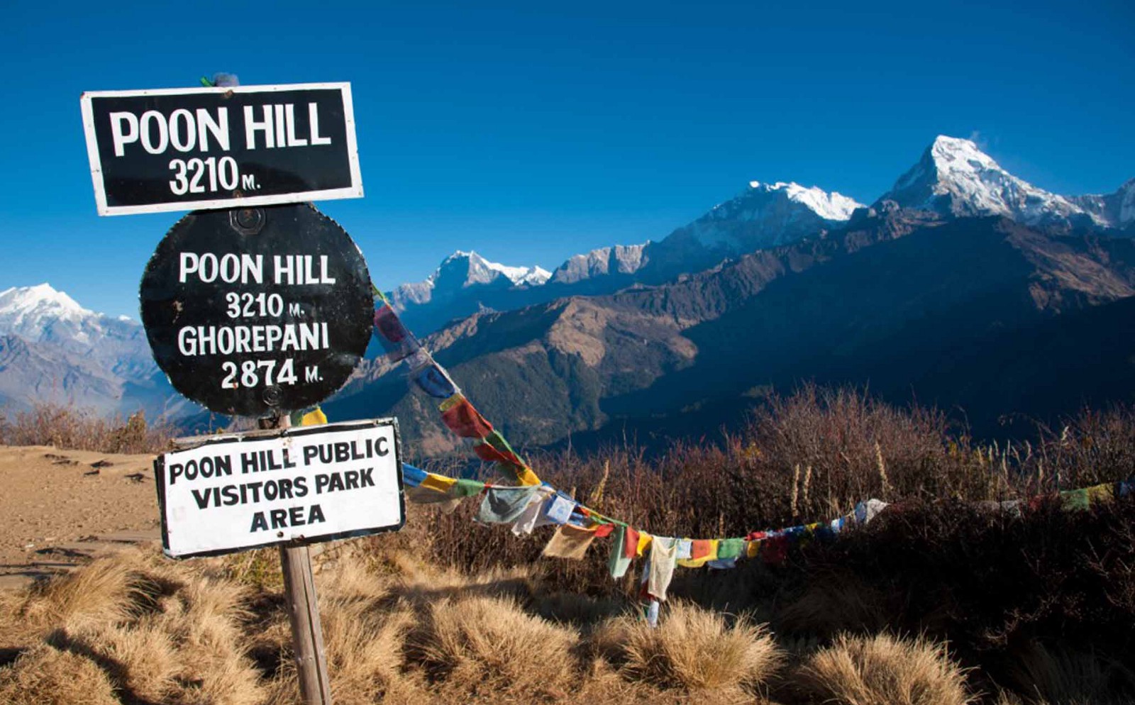 5 DAYS/ US Dollar 325
 10 Days/ US Dollor 830
 12 Days/ US Dollar 1580